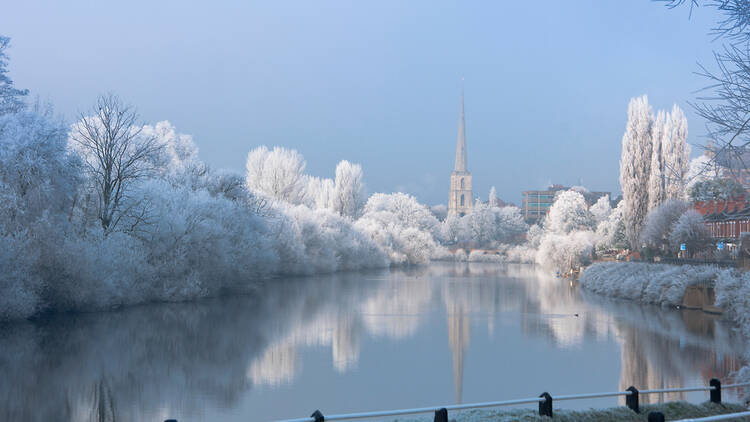
As December creeps in, there’s one question on all of our minds – will we finally get a white Christmas? While we can’t see that far ahead just yet, there’s certainly a nip in the air. And today, the Met Office revealed exactly when we could be expecting the first bit of snowfall this festive season.
You’ll probably have to take a small hike to be in with your best chance of seeing snow this week. According to forecasters, there’s a possibility of snow on higher ground in parts of northern England and Scotland later today (Monday, November 27), with a chance of ‘more significant snowfall’ and ‘possibly hill snow’ across the south towards the end of the week.
Dan Harris, a Met Office meteorologist said: ‘At present, the most likely outcome beyond mid-week is that rain from the west slowly moves east, with snow possible over higher ground, and a continued risk of showers over eastern parts.
‘However, there is a chance that a more active weather system arrives from the southwest, which would bring more widespread rain, stronger winds, and the potential for more significant snowfall should the air over the UK become sufficiently cold ahead of it.’
This week will also see a few outbreaks of rain across the country, so it’s not looking likely that the snow will settle – the snowmen and snowball fights will have to wait. But fingers crossed for more to come, eh?
Did you see that this national park has been named the most beautiful in the UK?
Plus: this English road has been named one of the most dangerous in the world.
Stay in the loop: sign up to our free Time Out UK newsletter for the latest UK news and the best stuff happening across the country.

