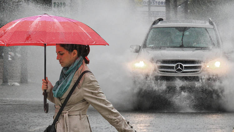
Eek. Two big wet weather systems are about to hit much of NSW and impact the rest of the week, with authorities warning of more flooding and the SES preparing for possible rescue efforts.
According to the Bureau of Meteorology, the first weather system will move from the state's west late on Tuesday October 4 and into Wednesday October 5, before travelling across central NSW to coastal areas around Sydney.
The SES said the second storm system would bring even more rain and also hit the Sydney metro area. SES spokesman Greg Nash said in a statement to ABC News that the rain could cause severe riverine and flash flooding, especially because many creeks and rivers are already close to capacity from months of extreme rainfall.
"This rain will cause additional flood warnings and flooding for rivers and creek systems around NSW," said Nash.
These storm systems are of particular concern for holiday-goers making the most of the school holidays around the state.
The latest warning from the BoM represents the confluence of ongoing weather events caused by climate change, the third year in a row of La Niña and an unusual second consecutive season of the Indian Dipole Current (the first time this particular phenomenon has happened in recorded history).
