

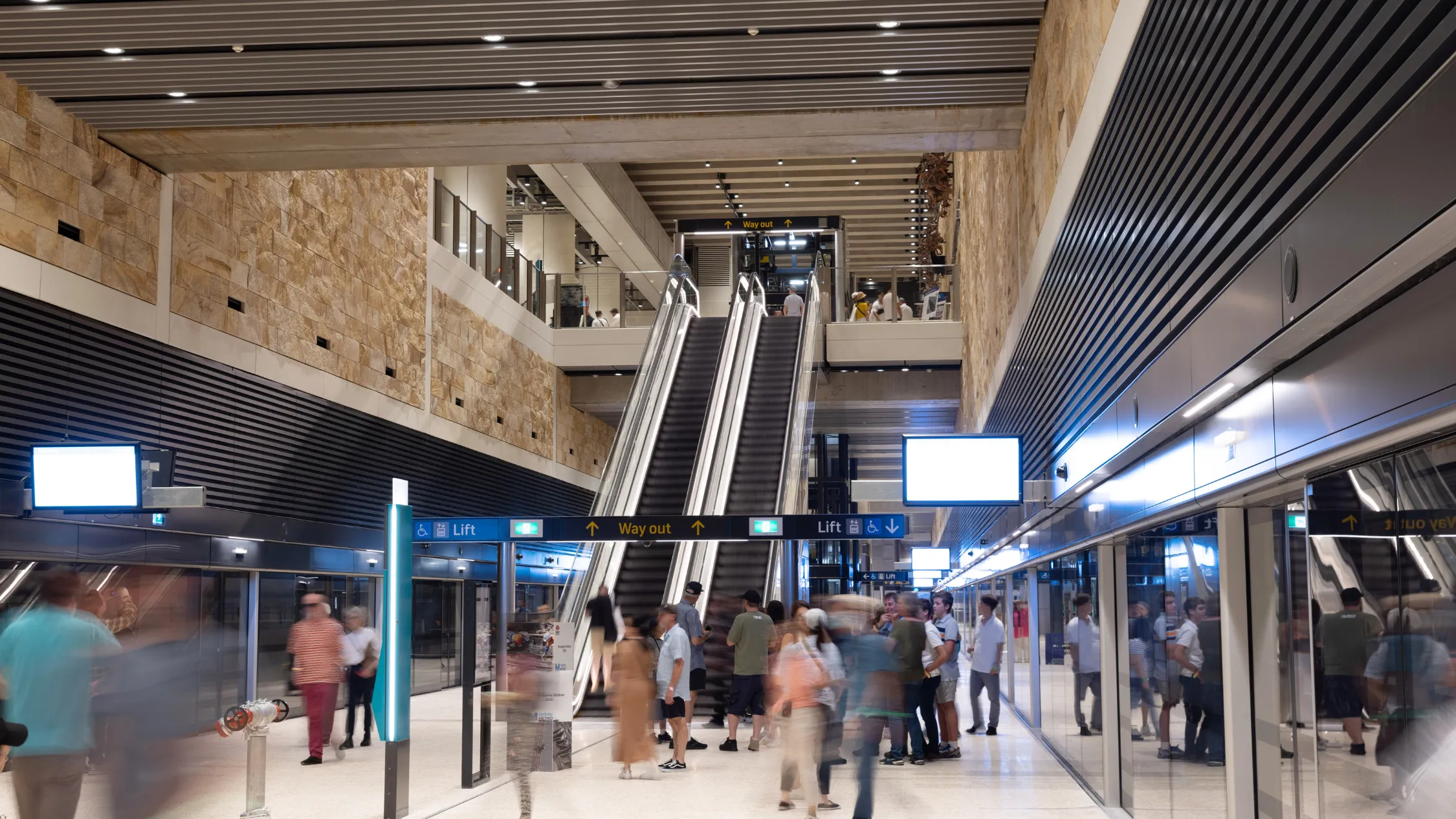
After years in the works and a few tense weeks of waiting after the initial opening date was delayed, the shiny new Sydney Metro officially opened last month (on Monday, August 19). The new line – which extends the existing line between Tallawong and Chatswood to run all the way through the city from Chatswood to Sydenham – is officially in action, zooming under Sydney at speeds of up to 100-kilometres per hour. If you’re not sure where the new Sydney Metro goes, this should help.
Back in 2019, the first stretch of Sydney Metro began welcoming passengers in Sydney’s north – a super-fast stretch of train line connecting Tallawong and Chatswood. Today, the newest 15.5-kilometre stretch of metro line (called the City line) opened its doors, connecting Chatswood in the city's north to Sydenham in the city’s Inner West via the CBD. By 2026, this line is set to extend all the way to Bankstown, with work on converting the Sydenham to Bankstown line set to begin on Monday, September 30. (More on the closure plan for the Sydenham to Bankstown T3 line over here.)
Once complete, there are set to be 46 stations on the Sydney Metro Network, with plans for Sydney Metro West (a line from the Sydney CBD to Westmead via Parramatta) and Sydney Metro Western Sydney Airport (a new line connecting St Marys to the new Western Sydney International (Nancy-Bird Walton) Airport and the neighbouring CBD).
As it stands, the stations on the 51.5-kilometre stretch of Sydney Metro M1 line are:
Tallawong
Rouse Hill
Kellyville
Bella Vista
Norwest
Hills Showground
Castle Hill
Cherrybrook
Epping
Macquarie University
Macquarie Park
North Ryde
Chatswood
Crows Nest
Victoria Cross
Barangaroo
Martin Place (the new metro superhub)
Gadigal
Central
Waterloo
Sydenham
Over the next few months, the T3 Bankstown Line between Bankstown and Sydenham will close and be converted into a metro line, with the M1 line then continuing to the following stations:
Marrickville
Dulwich Hill
Hurlstone Park
Canterbury
Campsie
Belmore
Lakemba
Wiley Park
Punchbowl
Bankstown
The newest stretch of the M1 line connects Chatswood to Sydnenham via Sydney’s biggest major business districts, with new stations at Crows Nest, Victoria Cross (North Sydney), Barangaroo, Martin Place, Pitt Street, Waterloo, and new underground platforms at Central. The new driverless metro trains are set to travel through the new stations every four minutes during peak times, and every ten minutes during off-peak travel times.
Want to know how long it will take to get from A to B on the Sydney Metro? You can find the Metro journey times here.
You can learn more about the Sydney Metro and plan your journey over here.
Stay in the loop: sign up for our free Time Out Sydney newsletter for more news, travel inspo and activity ideas, straight to your inbox.