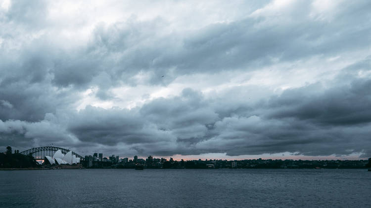
It’s been confirmed. La Niña is officially returning to Australia’s east coast for the third summer in a row. Sorry folks.
The weather gods over at the Bureau of Meteorology have confirmed that due to atmospheric indicators (including equatorial cloudiness and trade wind strength), along with recent cooling in the central tropical Pacific, all us on the east coast can expect another sodden summer, with more heavy rains and flooding predicted to hit our horizons.
The silver lining? Despite La Niña’s reappearance, the Bureau of Meteorology has also said that we can expect it to drop off early next year, with this particular La Niña rendition expected to be weak to moderate in strength, whilst also being a relatively short lived weather event. There’s always hope.
Despite this, the rains will reportedly continue to fall throughout spring and into the first half of summer, with this being the very first time that Australia has experienced three consecutive La Niña events alongside back-to-back negative Indian Ocean Dipole events, with these three different climate drivers converging to create wild and wet weather across the country.
This triple La Niña event is incredibly rare, with this one being just one of the three to hit us since records began in 1900 – with Sydney only this year predicted to break a 60-year rainfall record. Due to a lack of historical precedent, the real impacts of this unusual climate event are hard to predict, with experts warning of increased flooding risks for the already flood-battered regions of NSW.

