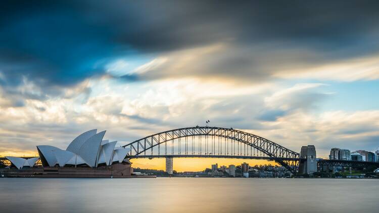
It’s estimated that as much as a year’s worth of rain has fallen on New South Wales in just the last three weeks, which isn’t hard to believe considering the torrential downpours that thoroughly drenched Sydney on the evening of March 7 and into March 8. Much like areas in the state’s far north, such as Lismore, several areas in Sydney, including parts of South Western Sydney and the Northern Beaches, are now underwater, but the forecast for the rest of the week suggests the city will be getting a respite – albeit a brief one – from the recent deluges and floods.
According to the NSW Bureau of Meteorology, both winds and rain will ease off in the coming days, with Thursday, March 10 resembling something closer to the kind of fine, late summer weather Sydneysiders are used to. While there will still be occasional showers, with the chance of rain increasing through the weekend, Sydney will be spared torrential downpours that could put yet more stress on the city's already-overwhelmed dams and rivers.
However, that doesn’t mean the sustained wet weather is coming to an end. The La Niña weather event, which has created the atmospheric conditions driving our sticky, soggy summer, will continue to skew the East Coast’s forecasts towards rain well into the Autumn period. So, make the most of the milder weather when you can – there are few guarantees that Sydney will get too many more clear skies during what remains of the warmer months.

