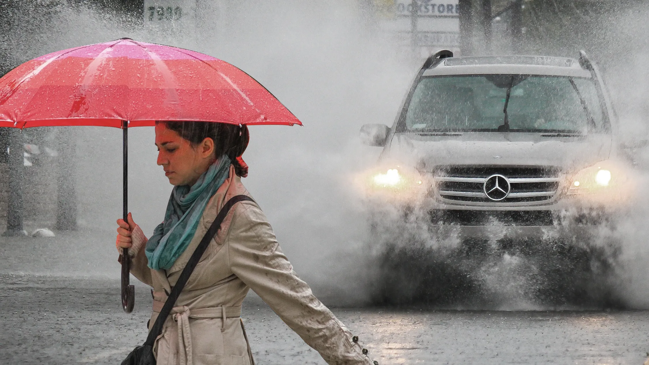
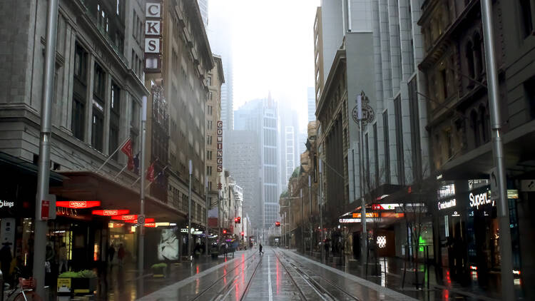
It’s well and truly that time of year. Yesterday, unseasonably high temperatures led the NSW government to warn of blackouts – calling on government agencies to reduce electricity use to keep the rest of the state powered. Now, storm warnings are in place – with the Bureau of Meteorology (BOM) warning of potential flash flooding, hail and damaging winds. Cool.
The weather warnings are in place as a huge bank of clouds off the coast, which the BOM predicts will bring “likely heavy rain, possible large hail and damaging winds” when it hits Sydney’s humid airspace later today (Thursday, November 28).
In good news, the incoming rain will reduce the fire risk in Sydney and surrounds, which is currently sitting at “moderate”, according to the BOM.

The rain is predicted to hit Sydney at around noon today, lasting through the afternoon and continuing into tomorrow.
According to Accuweather, the chance of rain across Sydney will increase from 49 per cent at 11am to 59 per cent at noon, with the thunderstorms set to begin from noon and a lot more rain set to fall overnight. The rainfall in Sydney today is predicted to sit at around 15mm, with up to 35mm predicted to fall tomorrow. With another 30mm of rain set to fall on Saturday, Sydney could see a month’s worth of rain fall in just three days (the average rainfall in Sydney in December is 77.1mm).
The thunderstorm warnings across Sydney aren’t localised, with storms predicted across the city: from Bondi in the east to Penrith in the west. By Sunday, the rain is set to ease – with the Sydney sunshine set to reappear in a big way early next week. In the meantime, you can stay entertained with our carefully crafted list of the best things to do on a rainy day in Sydney here.
You can stay informed with live weather updates here.
Stay in the loop: sign up for our free Time Out Sydney newsletter for more news, travel inspo and activity ideas, straight to your inbox.

