

UPDATE February 14, 2025: A second winter storm is set to hit Montreal from Sunday into Monday, bringing significant snowfall of up to 30 centimetres in some areas. While this is great news for the ski hills, Environment Canada warns that this new snow, combined with the accumulation from earlier in the week, will cause significant weight on roofs. Read more here.
It’s official: a winter storm watch is in effect for Montreal.
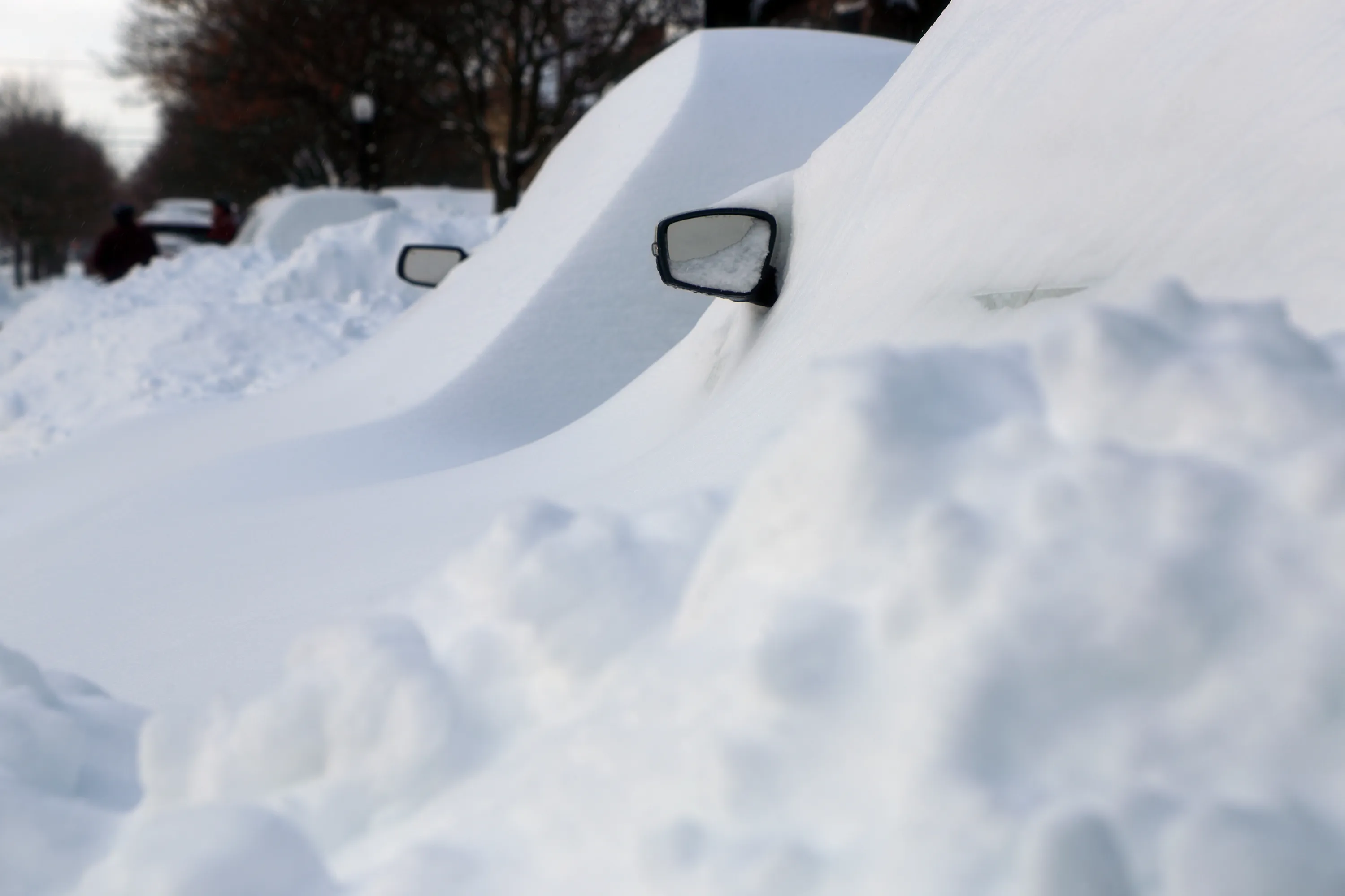
A strengthening low-pressure system from Texas is moving toward Quebec, bringing some seriously heavy snowfall with it.
A blizzard is forecasted to begin overnight Wednesday in the province’s southwest and spread to Central and Eastern Quebec by Thursday morning—just in time for Valentine’s Day.

Significant snowfall is great news for skiers, anyone into winter hiking and the tubing and urban sledding crew.
But Environment Canada warns that rapid snowfall accumulation could create hazardous travel conditions, with reduced visibility during periods of heavy snow.
Urban areas may experience significant disruptions during rush hour.
Planning a romantic getaway? You might want to play things closer to home with one of the city’s most romantic things to do, or one of Montreal’s best date night activities.
What kind of winter is predicted for Montreal?
The 2025 Old Farmer's Almanac 12-month weather outlook forecasted warmer-than-normal winter temperatures, with the coldest spells in early to mid-December and late February.
What was the biggest snowfall in Montreal?
The most amount of snow on record to land in one day in Montreal is 46.5 centimetres (18.3 inches) on January 21, 1889.
RECOMMENDED:
Best things to do in Montreal