Sunday night may have been the coldest night of the entire winter in Montreal, but by Monday morning, the temperature dropped to -7°C—a 25-degree plunge in less than 48 hours.
The good news: starting Tuesday, temperatures will rise above the freezing point in the southern part of the province, with highs are expected to reach 4°C.
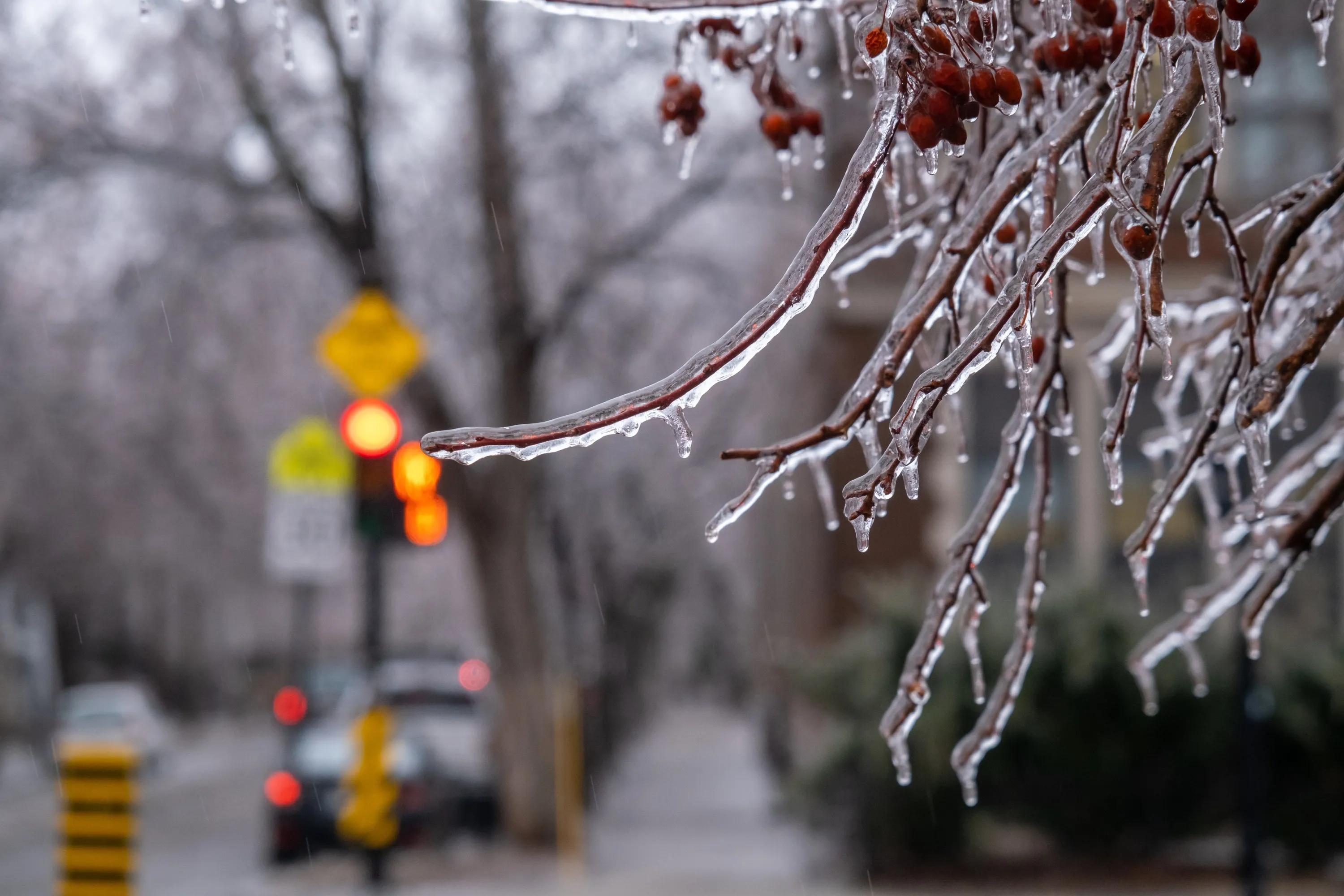
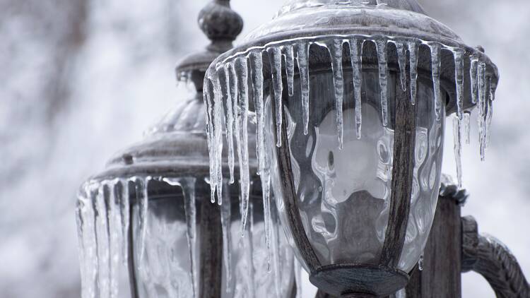
The bad news: the midweek warm-up comes with rain between Tuesday and Thursday, along with a possibility of freezing rain.
When is the freezing rain arriving in Montreal?
According to a special weather bulletin issued by Environment and Climate Change Canada, the midweek warm-up means temperatures will rise significantly on Wednesday and Thursday.
Rain will begin on Wednesday and could bring up to 25 mm of precipitation by Thursday.
There’s a risk of freezing rain on Wednesday morning before temperatures rise and the rain arrives.
The combination of rain and melting snow could lead to significant water accumulation on roads and low-lying areas.
This abrupt shift comes after a series of winter storms that left a thick blanket of snow across the city. While this week's milder temperatures may feel like a brief respite from winter, they could also signal what's to come.
Meteorologists have already indicated that a wetter-than-usual spring may be on the way.

What is the spring forecast for Montreal?
Eager for an early spring? You might want to temper your expectations: both the Farmers’ Almanac and MétéoMédia predict that winter will hold its grip on southern Quebec for a while longer, bringing chilly temperatures, frequent rainfall, and even some late-season snow.
RECOMMENDED:
Best things to do in Montreal
New map shows where to find the perfect snow conditions in Quebec in real time

