UPDATE, January 21, 2025: Just after the arrival of the polar vortex in Montreal, a major power outage left approximately 100,000 homes in Montreal without electricity this morning. The affected neighbourhoods stretched from St-Laurent to just before Pie-IX and from Bellechasse to Henri-Bourassa, impacting neighborhoods like Ahuntsic, Villeray, and Rosemont.
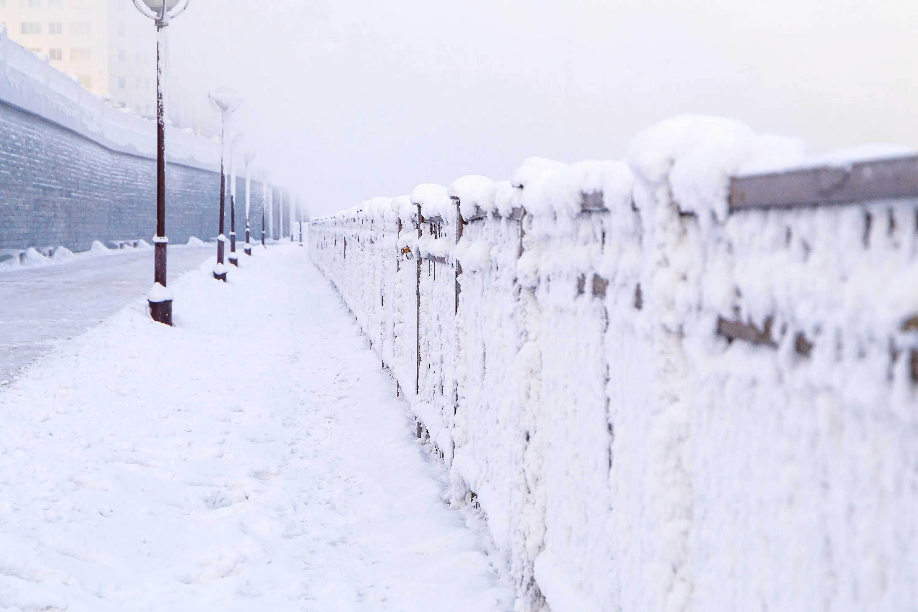
A severe cold is on the way, and it’s going to plunge Montreal into a bitter cold.
According to the Weather Network, it is extremely unusual to see so much of North America plunged into such an extreme cold for a five-day period.
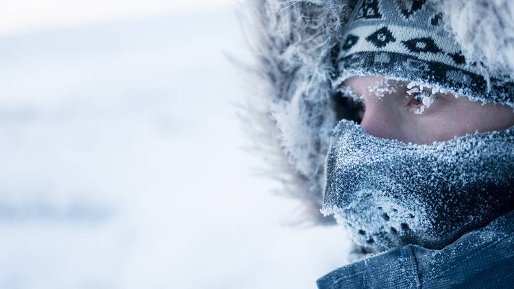
A potential risk of hypothermia if adequate precautions are not taken when outside, and any skin exposure will result in frostbite.
When is the polar vortex coming to Montreal?
Sunday and Monday will be the coldest air of the season for much of Quebec.
Temperatures are expected to swing from a high of 1 C on Saturday to a low of -19 C on Sunday.
Expect brutal wind chills, and lows of -26 C and -27 C to continue into the week.

What is a polar vortex?
A polar vortex is low pressure near the earth’s poles with a large swirling area of extremely cold air.
The danger of the polar vortex is the severely cold air it can push from the Arctic to lower latitudes, sometimes lingering for extended periods in severe cases.
For more updates from the Weather Network, click here.
RECOMMENDED:
Full guide to the best things to do in Montreal

