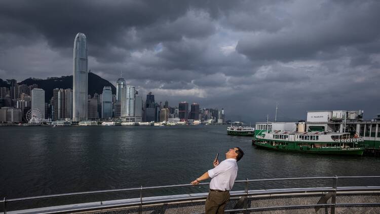
Update on November 13: The Hong Kong Observatory announced on November 13 at 8.15pm that the Gale or Storm Signal, No. 8 will be issued from 11.10pm and will remain in force at least until 10am the next day (November 14).
--
The Standby Signal No. 1 has been in force for Tropical Storm Toraji since late Monday night, November 11, and the cyclone is now expected to bring worse weather conditions to the region. As of 10am this morning, this storm is about 300 kilometres southeast of Hong Kong. According to the HKO, Toraji has adopted a more northerly track so its outer rain bands are affecting the Guangdong coast. Local winds will strengthen over the course of today, especially offshore and on high ground, where they might occasionally reach gales.
The HKO will therefore issue the Strong Wind Signal No. 3 at 2.40pm today, November 13. Toraji will reach within approximately 200 kilometres to the south of Hong Kong on the morning of Thursday, November 14 – the observatory will further assess whether to issue higher tropical cyclone warning signals depending on its intensity, gale winds, and changes in local wind conditions.
Even before these more severe signals are in place, the Hong Kong public are urged to stay away from the shoreline, moor low-power vessels, and ensure that outdoors structures, furniture, and facilities are properly secured.
Keep an eye on the Tropical Cyclone Toraji on the HKO website.
Recommended reading:
Hongkongers are now supposed to stand on both sides of MTR escalators
Shingo Gokan will be in town to offer exclusive Japanese cocktails
The Twins at Kai Tak is set to open in mid-November
Follow us on YouTube, Facebook, Instagram, and Threads, or subscribe to our newsletter for the latest news and updates on what's going on in the city.

